Imagine your home floods every year.
Not occasionally. Not once in a decade. Every year, with varying intensity.
You know the water will rise. You know you’ll have to leave. And you know precisely which route leads to higher ground.
Now imagine that one fine day, a massive stadium is constructed across that route. Suddenly, the way you’ve always used to escape is blocked. The floodwaters are rising, and you realise there’s no way through.
Welcome to the predicament facing wildlife in Kaziranga.
Every monsoon, the Brahmaputra spills across the vast grasslands and wetlands of one of India’s most celebrated national parks. Flooding replenishes the grasslands, redistributes nutrients and helps maintain the habitats that make Kaziranga extraordinary.
For the animals living there, however, the rising water presents a rather more immediate problem.
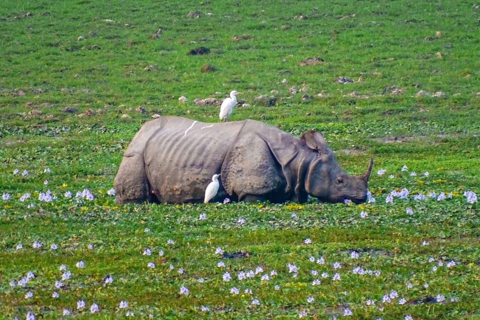
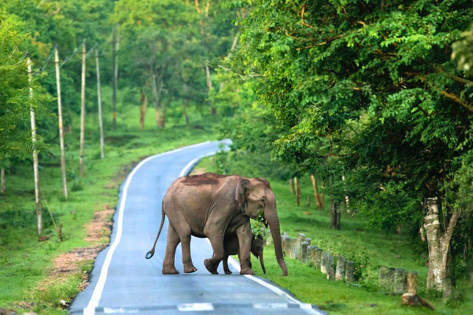
Rhinos, elephants, deer and countless smaller creatures must move towards the higher ground of the Karbi Anglong hills. Between the park and those hills lie roads, settlements, agricultural land, commercial establishments and the wildlife corridors that make this journey possible.
The animals have been following these routes long before anyone thought to draw a national park boundary.
We have become exceptionally good at protecting what lies inside Kaziranga. But are we doing enough to protect what makes life inside it possible?
A conservation success story with an uncomfortable question
Kaziranga deserves its reputation. It is one of India’s great conservation achievements, particularly for the greater one-horned rhinoceros. Its grasslands, wetlands and forests support wild buffalo, elephants, swamp deer and tigers.
For wildlife enthusiasts like us, places such as Kaziranga are reminders of what determined conservation can accomplish. Yet there is a tendency to reduce conservation to numbers. How many rhinos? How many tigers? How many hectares protected?
These are important measures, but they don’t necessarily tell us whether an animal can still move safely between the habitats it depends upon.
A national park is an administrative boundary. An ecosystem is considerably less interested in administrative arrangements. A tiger may disperse beyond a reserve. An elephant may follow a route used by generations before it. A rhino escaping floodwaters isn’t concerned with which department manages the land ahead.
Nature has a somewhat inconvenient habit of ignoring our paperwork.
The proposed reduction: Why one kilometre versus ten kilometres matters
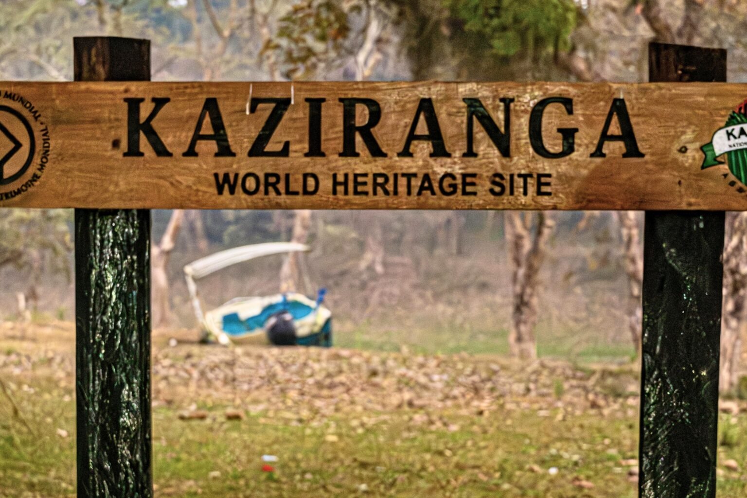
In August 2026, reports emerged of the Assam government’s proposal for a site-specific eco-sensitive zone extending approximately one to three kilometres from parts of Kaziranga’s boundary, rather than the broadly applicable 10-kilometre default framework.
The government has defended the proposal on the grounds that extensive restrictions can create difficulties for communities living near the park, particularly where development, infrastructure and livelihoods are concerned. Those concerns deserve consideration.
People live and work around Kaziranga. Better roads, schools, healthcare and employment matter too. But the conservation implications cannot be dismissed simply because development is desirable.
Of course, a ten-kilometre boundary isn’t magic. A carefully planned smaller zone might protect a sensitive stretch better than a larger one drawn without understanding the terrain. But first we need to know where the animals actually move, where the water flows and what could be lost. Those answers should come before the boundary is redrawn, not afterwards.
The real question isn’t whether ten kilometres is a more impressive number than one. It’s whether the proposed boundary adequately protects the ecological processes that keep Kaziranga alive.
A proposal is not an approval. The ongoing debate over tomorrow’s buffer should also not obscure questions about activity on the ground today.
A line on a map means little if the landscape it protects can no longer function.
While the boundaries are debated, the earth is reportedly being dug
On 30 August 2026, The Sentinel reported allegations by the All Tai Ahom Students’ Association that JCB machines were being used to excavate hills in the Karbi Anglong area adjoining Kaziranga. The organisation alleged the activity was illegal and that members inspecting the site were threatened.
That does not establish that an illegal excavation took place. We still need to know exactly where the machines were working, who authorised the activity and what permissions, if any, were granted. But wouldn’t those be among the first things the authorities should make clear?
But the concerns surrounding excavation are not new. In April 2019, the Supreme Court restricted mining and related activities in specified parts of the Kaziranga landscape, including relevant catchments, and prohibited new construction on private lands forming part of nine identified animal corridors.
In May 2026, The Indian Express reported a complaint alleging new construction in the Haldhibari and Panbari corridors. The park’s field director said officials were examining whether the structures fell inside the delineated corridors.
In October, The Tribune reported continuing concerns about mining and cited a Central Empowered Committee response regarding an outstanding watershed drainage analysis.
These are separate reports, not proof of one unlawful project. Yet together they reveal an awkward problem. We are debating whether to redraw protections while still asking whether the ones already on the books are being followed.
Before deciding how much protection Kaziranga needs tomorrow, shouldn’t we establish how well we’re enforcing what exists today?
A prohibition on paper offers little protection if it is not enforced on the ground.
The nine corridors are not an optional extra
The nine identified corridors are Amguri, Panbari, Haldhibari, Bagori, Harmati, Kanchanjuri, Hatidandi, Deosur and Chirang.
Their identification drew on wildlife movements, mortality records, field observations and landscape connectivity. The Assam government issued a notification identifying and delineating them in April 2022, although subsequent correspondence and reporting have questioned whether protection processes were fully completed.
There is a big difference between marking a route on a government map and keeping it open on the ground. A road, a wall or a busy construction site can make an official corridor difficult or dangerous to use. Animals need these routes to get away from floodwater, reach other habitats and, sometimes, simply stay out of our way.
If a route becomes obstructed, an animal may be forced towards roads, villages or unfamiliar land. This raises another uncomfortable possibility: What if some of the human–wildlife conflict we try to manage is made worse by the gradual disappearance of space wildlife needs to avoid us?
A corridor is only as useful as an animal’s ability to pass through it.
The animals that never make the headlines
When a rhino or elephant is injured on a road, people notice. But the highways near Kaziranga affect considerably more than its famous large mammals.
A 2022 study in Nature Conservation examined road mortality across a 64-kilometre stretch of NH-715 (formerly NH-37) between October 2016 and September 2017. Researchers recorded 6,036 vertebrate roadkill incidents, approximately 60% involving amphibians and 21% reptiles.
A frog has a considerably less effective negotiating position than an elephant.
An elephant-sized crossing does not automatically solve the problem for everything else. A frog, a snake and a small mammal each face rather different hazards on the same stretch of road. Those figures describe the year the researchers studied, not the number dying today. Still, they remind us how much of Kaziranga’s wildlife goes unnoticed when we think only of rhinos and elephants.
The ecological health of a landscape cannot be measured only by the survival of its most photogenic residents.
There is another connection we should be investigating: Water
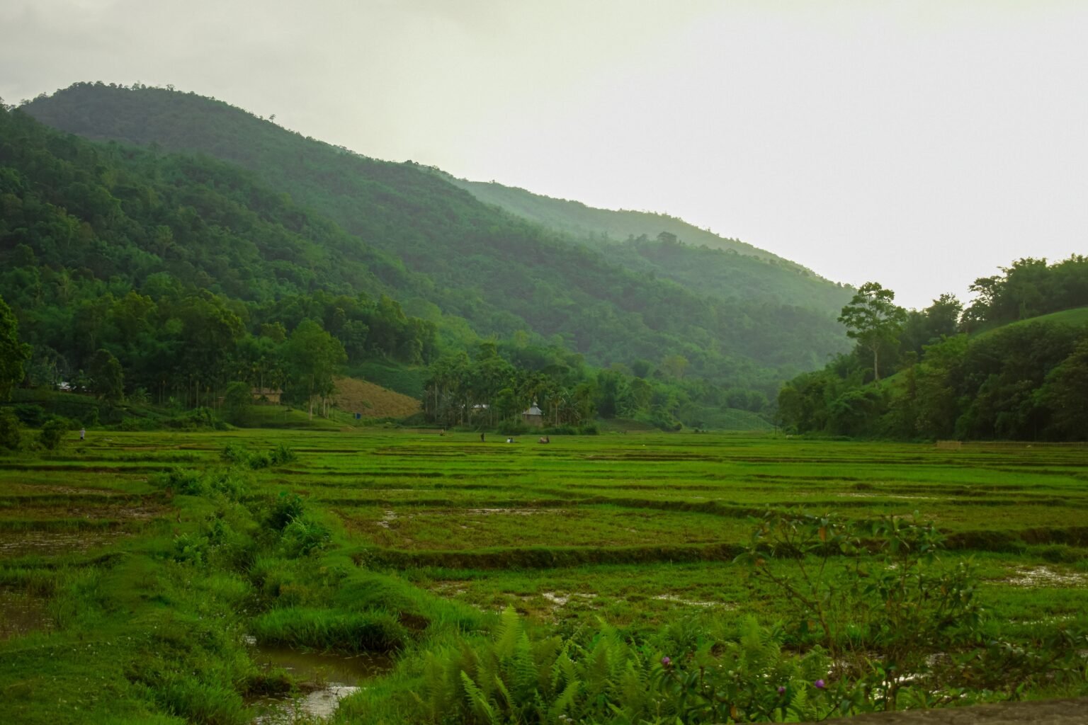
The Karbi Anglong hills are not simply higher ground for wildlife. Their catchments include streams that drain towards Kaziranga.
Think of what happens when you dig into a hillside during the rains. Soil can wash downhill, and water may begin finding different routes. The exact effect around Kaziranga depends on where the digging takes place and how the streams connect. We cannot blame a particular excavation for a particular flood or drainage problem without proper evidence. Which makes the reported gap in the watershed assessment all the more troubling: surely we should understand where the water goes before altering the land that guides it.
Kaziranga’s floods are part of its ecology, not merely an inconvenience to eliminate. We must consider the cumulative effects of many apparently small disturbances across its wider landscape.
What happens to water uphill can matter just as much as what happens to wildlife downhill.
A flyover is not a conservation policy
Elevated highway sections and wildlife passages can reduce animal–vehicle conflicts. But the effectiveness of a crossing depends on the land beyond it.
Imagine an elephant passing safely beneath an elevated road, only to encounter a blocked route on the other side. The engineering may have worked perfectly. The ecological connection has failed.
So let’s judge a wildlife crossing by what happens after the ribbon-cutting. Do animals actually use it? Are fewer killed on the road? Can they still reach the forest or hills beyond it? And does it help creatures smaller than an elephant? Those answers matter far more than how impressive the structure looks in a photograph.
A safe crossing is pointless if the route beyond it is blocked.
Development for whom, and at whose expense?
The debate is often framed as environmentalists versus local communities. That is too simplistic.
People around Kaziranga need infrastructure, services and economic opportunities. They should not bear disproportionate conservation costs. But reduced protections aren’t automatically the best development strategy either.
A road that gets a child to school or a patient to hospital is not the same proposition as a project that benefits a few people while everyone else lives with the consequences. We should be capable of telling the difference, rather than using the word ‘development’ as if it settles every argument.
Local people should have a meaningful voice in identifying where development is compatible with corridors and where safeguards must be non-negotiable.
Development should improve people’s lives without taking away wildlife’s chance to survive.
Perhaps we’re measuring conservation success the wrong way
At Safari Lab, much of our work revolves around helping people experience wildlife in the places where it belongs. One lesson that becomes apparent when studying forests is that what you see is only part of the story.
The tiger resting in the grass may be the photograph everyone remembers. The surrounding habitat, the prey it depends on and the spaces through which animals move are much less likely to make it into the frame.
But without those connections, the photograph eventually becomes harder to take.
Imagine if every celebration of Kaziranga’s rhino numbers came with a second set of numbers: how many corridors remain open, how safely animals crossed during the floods and whether fewer creatures died on the roads. That would tell us something about their future, not just their present.
A park full of animals is encouraging. A park whose animals can still move freely is a greater conservation success.
Kaziranga deserves more than promises
Existing restrictions governing mining, construction and wildlife corridors must be enforced. Reported excavation and other alleged violations deserve transparent, location-specific investigation. The nine corridors require clear, practical protection and monitoring.
Any proposed reduction in Kaziranga’s eco-sensitive zone should be evaluated through independent ecological evidence, including wildlife movement, catchment systems and the needs of local communities. That assessment should be open to scrutiny.
Kaziranga is more than an outline on a map. It is the Brahmaputra and its floodplains, grasslands shaped by water, streams descending from the hills, routes followed by elephants, higher ground that offers refuge, and communities intertwined with the same landscape.
When the next great flood comes, a rhino heading for the hills will not know whether the eco-sensitive zone extends one kilometre or ten. It will simply need a way through.
And ensuring that the way remains open should never have been negotiable.
Sources and further reading
This is an opinion article grounded in official directions, published reporting and ecological research. Reports of alleged illegal activity are attributed to their sources and are not presented as judicial findings.